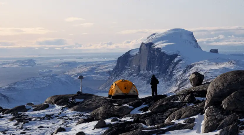
Greenland is rising faster than sea level
Greenland February 19, 2024 9:17 p.m. Robert Klatt Sea levels around the world are constantly rising due to melting glaciers. In Greenland, however, geological processes are leading to increased elevation of land masses. Lyngby (Denmark). More than 1,000 gigatons of ice have melted in the Arctic since the 1980s. The ice sheet has lost approximately […]
Greenland
Robert Klatt
Sea levels around the world are constantly rising due to melting glaciers. In Greenland, however, geological processes are leading to increased elevation of land masses.
Lyngby (Denmark). More than 1,000 gigatons of ice have melted in the Arctic since the 1980s. The ice sheet has lost approximately 5,000 square kilometers of its surface area. Over the past few decades, the rate of ice loss has continued to accelerate. According to a Northwestern University study published in the journal Climate change was released, it is currently running about five times faster than it was 40 years ago. Global sea levels have risen by more than a centimeter due to significant melting.
Researcher of Technical University of Denmark (DTU) around Danjal Longfors Berg have in the Geophysical research letters A study was published according to which the continent of Greenland is rising faster than sea level. In 2023, the bedrock of Greenland was 20 centimeters higher than in 2013. According to scientists, development will continue in coming years.
“This is a fairly significant ground-lift that we can now demonstrate. They show that local changes in Greenland are happening very quickly and affecting life in Greenland. This also affects the map of Greenland as new land emerges from the sea, creating new small islands and islets over time.
Data from 61 measuring stations
The study draws on data from GNET, a network of 61 measuring stations on the coast of Greenland, as well as satellite data from the GPS and Galileo systems. As Morten Hvidberg, deputy director of the Agency for Data Supply and Infrastructure at the Danish Ministry of Climate, Energy and Utilities, explains, the combined data sources allowed DTU researchers to detect movements in bedrock with high precision.
“GNET is a fundamental geodetic infrastructure that provides data to measure ice melt and land uplift. GNET allows researchers, including those at DTU Space, to accurately monitor climate change.
Climate change accelerates land upheaval
According to the study authors, land uplift in Greenland is occurring because the ice sheet is thinning. Since the end of the last ice age, around 12,000 years ago, the ice has been melting steadily and the pressure on the land surface has decreased, causing it to rise. This process is mainly observed on the coasts, as ice melting there is occurring at a higher than average rate due to climate change. According to Shfaqat Abbas Khan, without climate change and global warming, land uplift would be much slower.
“The land uplift we observe in Greenland during these years cannot be explained solely by natural development after the ice age. Greenland increases significantly more. Using our GNET data, we can isolate exactly how much land uplift is caused by current global climate changes.
Nature Climate change, doi: 10.1038/s41558-023-01855-6
Geophysical Research Letters, doi: 10.1029/2023GL104851